Jogni Falls
Easy Alpine Trail in Kullu & Manali • Summit 2,280 m • Half Day (2–3 Hours)
Alpine Field Dossier • Route Metrics
About Jogni Falls Trek
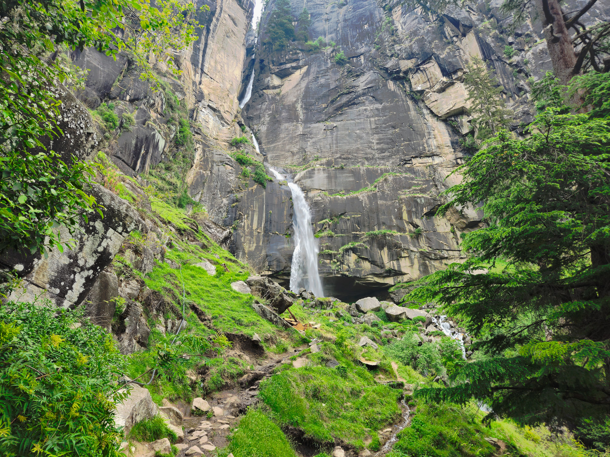
A sacred 150-foot cascading cataract plunging down sheer granite cliffs in the Kullu Valley above Vashisht village, 4 km from Manali. Revered as the sanctuary of village Jogini deities, the 3.2 km trail ascends through fragrant deodar woods and apple orchards to an alpine amphitheater drenched in roaring glacial spray.
Lower Cascade Pools (2,170m)
Crystal glacial meltwater rushing violently over mossy granite boulders beneath shady pine groves.
Upper Amphitheater (2,280m)
The majestic 150-foot vertical cataract crashing into its natural rock basin amidst thunderous glacial spray.
Sacred Pahadi Heritage
Revered sanctuary of village Joginis where local Pahadi tradition preserves sacred waters and zero-litter trail ethics.
The Trail
A first-hand visual chronicle and field observations from Vashisht Village to the 2,280m Upper Jogni Waterfall.
Authentic Ground Hike • Vashisht Village to Upper Jogni Amphitheater (2,280m)
“I parked my scooty at Vashisht village and started on foot past the cafes and temples into the deodar woods and apple orchards. You pass these wonderful quirky wooden signboards, cross small streams, and soon catch sight of the water plunging from high cliffs. Many people stop at the lower boulder pools thinking they’ve arrived, but that’s only the warm-up. Continuing higher along the steep dirt path brings you directly beneath the majestic 150-foot upper plunge of Jogni Falls. The glacial spray on your face and the views over the snow-capped Pir Panjal peaks are unforgettable.”— Ashish, Field Hike from Vashisht
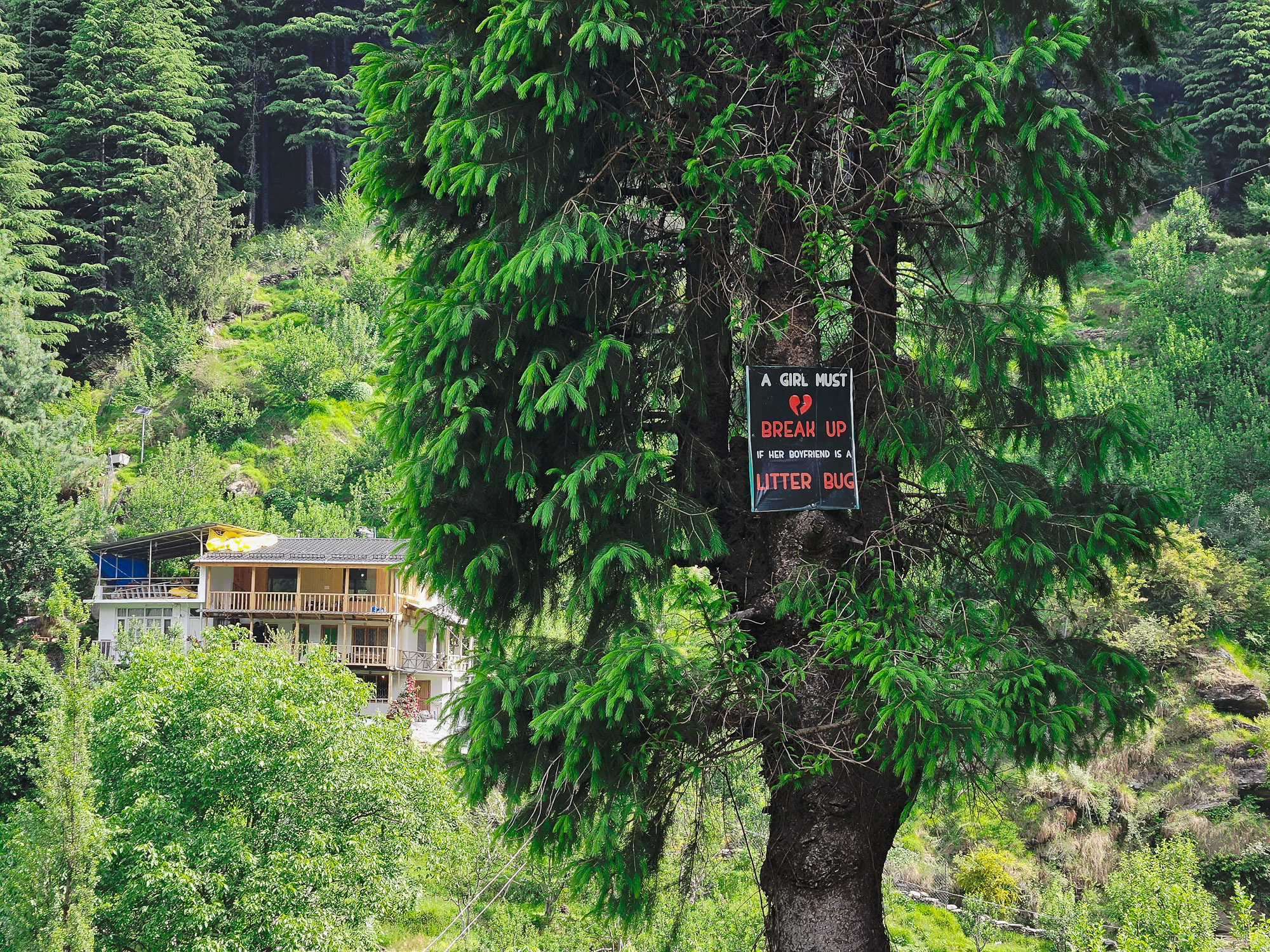
Trailhead via Vashisht Village
Parked the scooty at Vashisht near the temple square. The trail begins through rustic village alleys, cozy backpacker cafés, and wooden signs pointing up into the pine forest.
“Starting the morning hike from Vashisht. Winding through the village paths, the scent of woodsmoke and deodar pines fills the crisp morning air.”
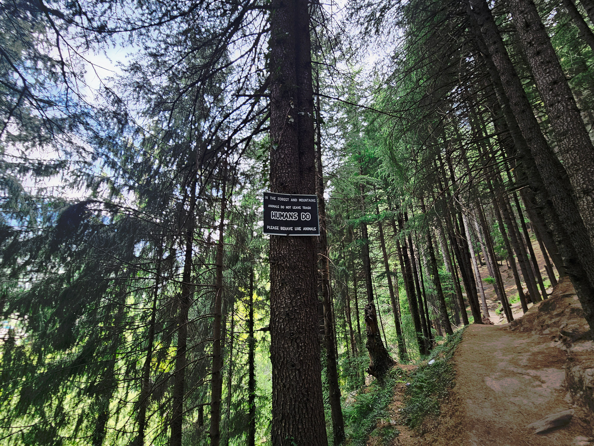
Mountain Wisdom: 'Behave Like Animals'
A rustic hand-painted wooden sign pinned to a tree along the path: 'Behave like animals, do not litter.' Simple, profound mountain ethics.
“The signs along the forest path remind every hiker of what matters: leave no trace and respect the sacred silence of the valley.”
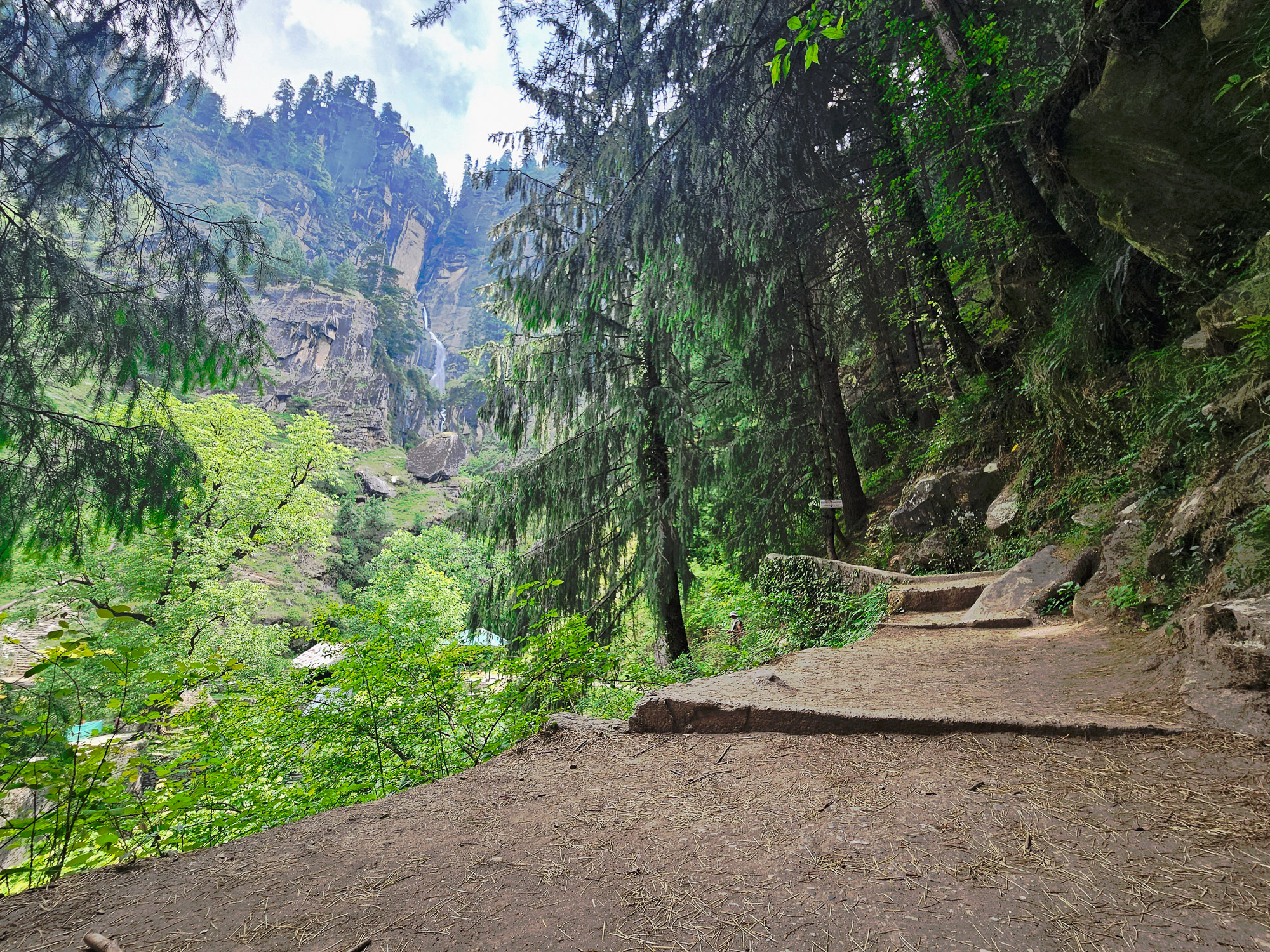
First Glimpse of the Waterfall
Emerging through apple orchards and pine branches to catch the very first view of Jogni Falls glinting against the sheer granite cliffs across the gorge.
“You catch the first white ribbon cascading on the distant cliffs. It looks close, but there is still plenty of climbing ahead.”
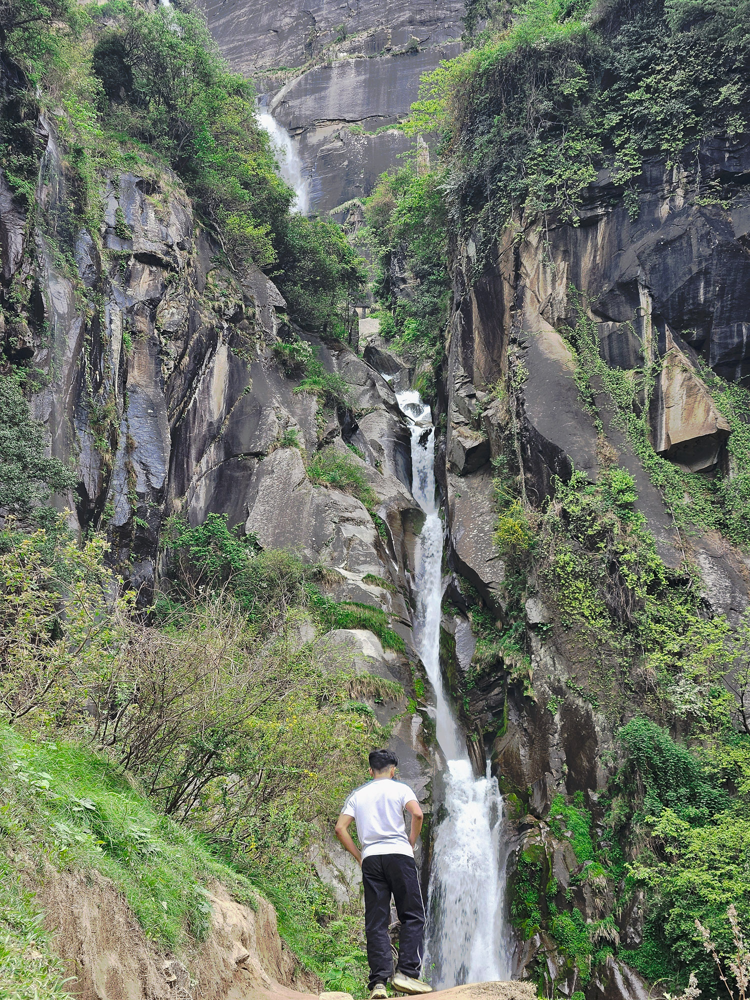
Lower Cascades & Stream Crossings
Approaching the lower tiered cascades. Glacial meltwater gushes violently over moss-covered granite boulders, creating crystal pools beneath the canopy.
“At the lower falls, many casual visitors think this is the destination. But the true, majestic upper fall requires climbing higher along the forest ridge.”
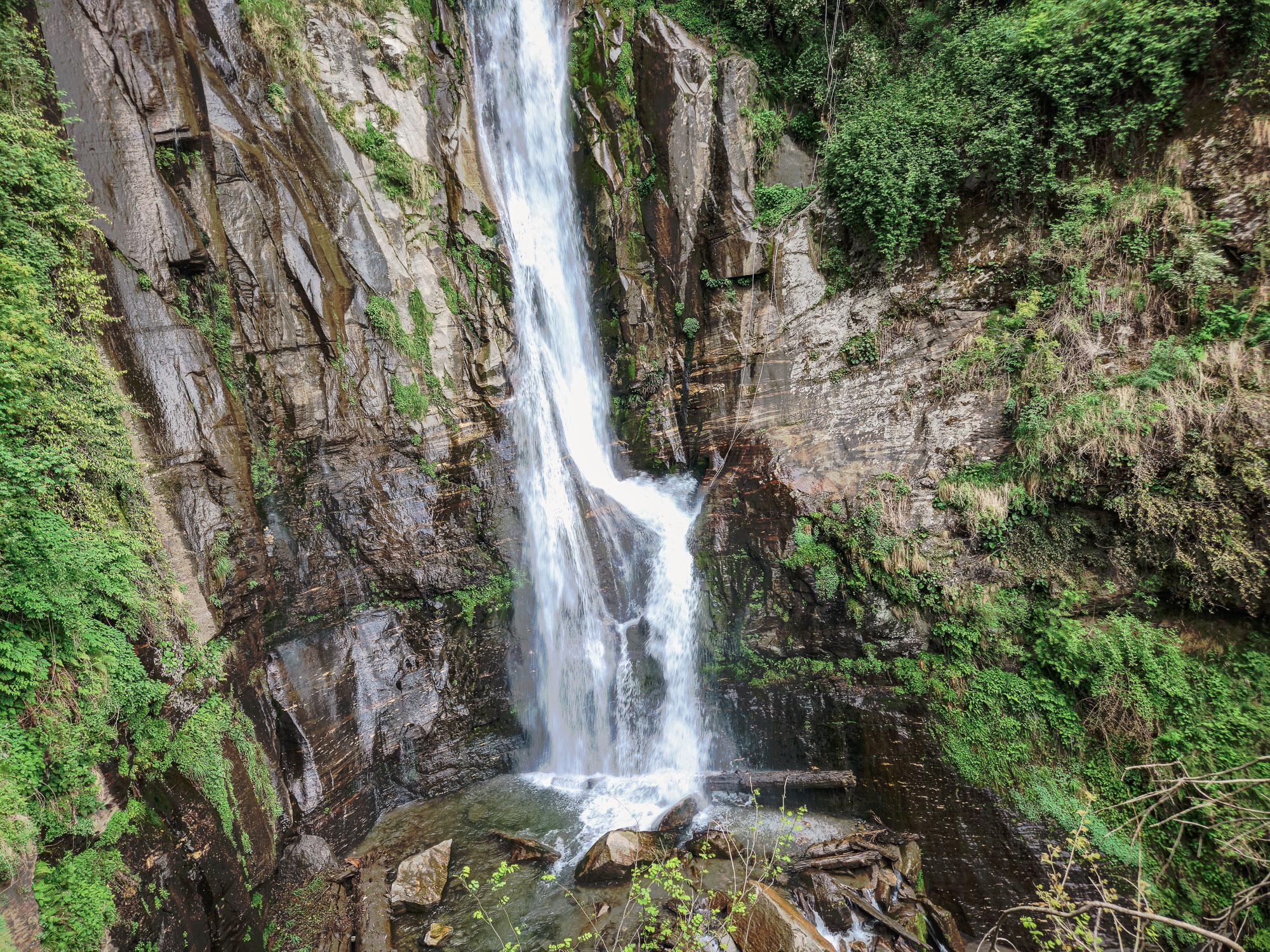
Lower Plunge Pools & Granite Boulders
Standing directly beside the torrential lower cascade. Ice-cold glacial water froths into turbulent white foam before tumbling down toward the Beas River.
“The air temperature drops noticeably by the water. You can touch the freezing Himalayan runoff straight from the high snowfields.”
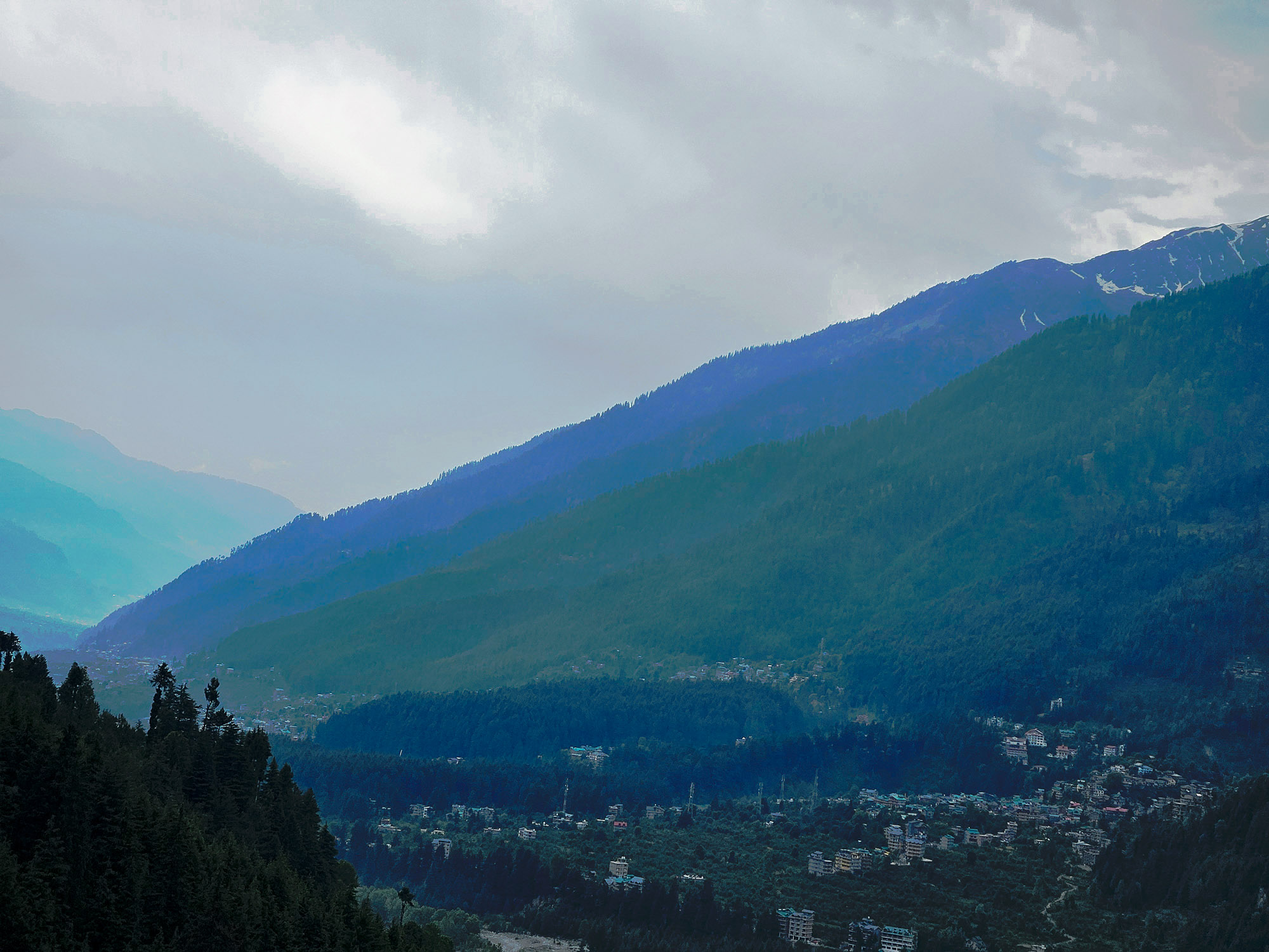
Sweeping Panorama of Kullu Valley
Looking back across the valley from the ascending trail. The expansive Beas river basin, tiered apple orchards, and pine-blanketed ridgelines stretch below.
“Every step uphill gives you a grander perspective of the Manali valley. The highway and town fade into a quiet miniature landscape.”
The Majestic Upper Plunge
Rounding the final cliffside switchback to reveal the full 150-foot vertical cataract of Upper Jogni Falls crashing into its sacred emerald basin.
“This is the moment of awe. The thunderous roar fills the entire natural rock amphitheater, sending clouds of glacial mist into the sky.”
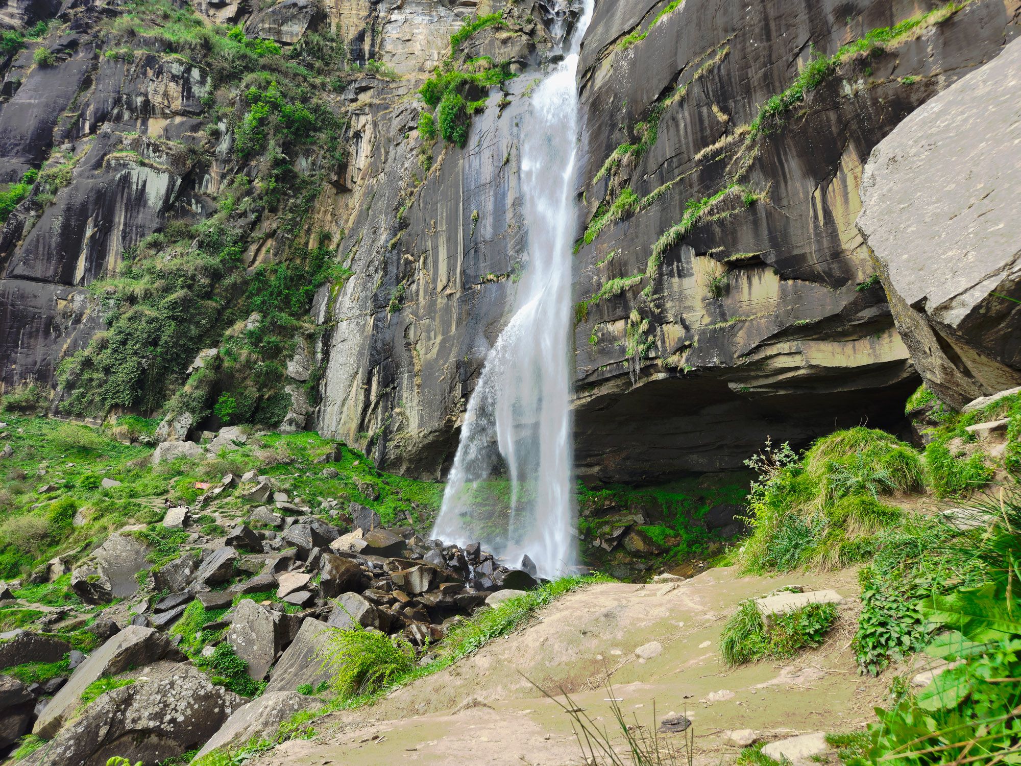
Up Close with the Rushing Torrent
A closer view of the roaring torrent slicing through ancient Himalayan rock. The water velocity creates dramatic misty air currents.
“Moving in close, the raw hydraulic power of the waterfall reverberates in your chest. The rocks around the base are slippery with cold mist.”
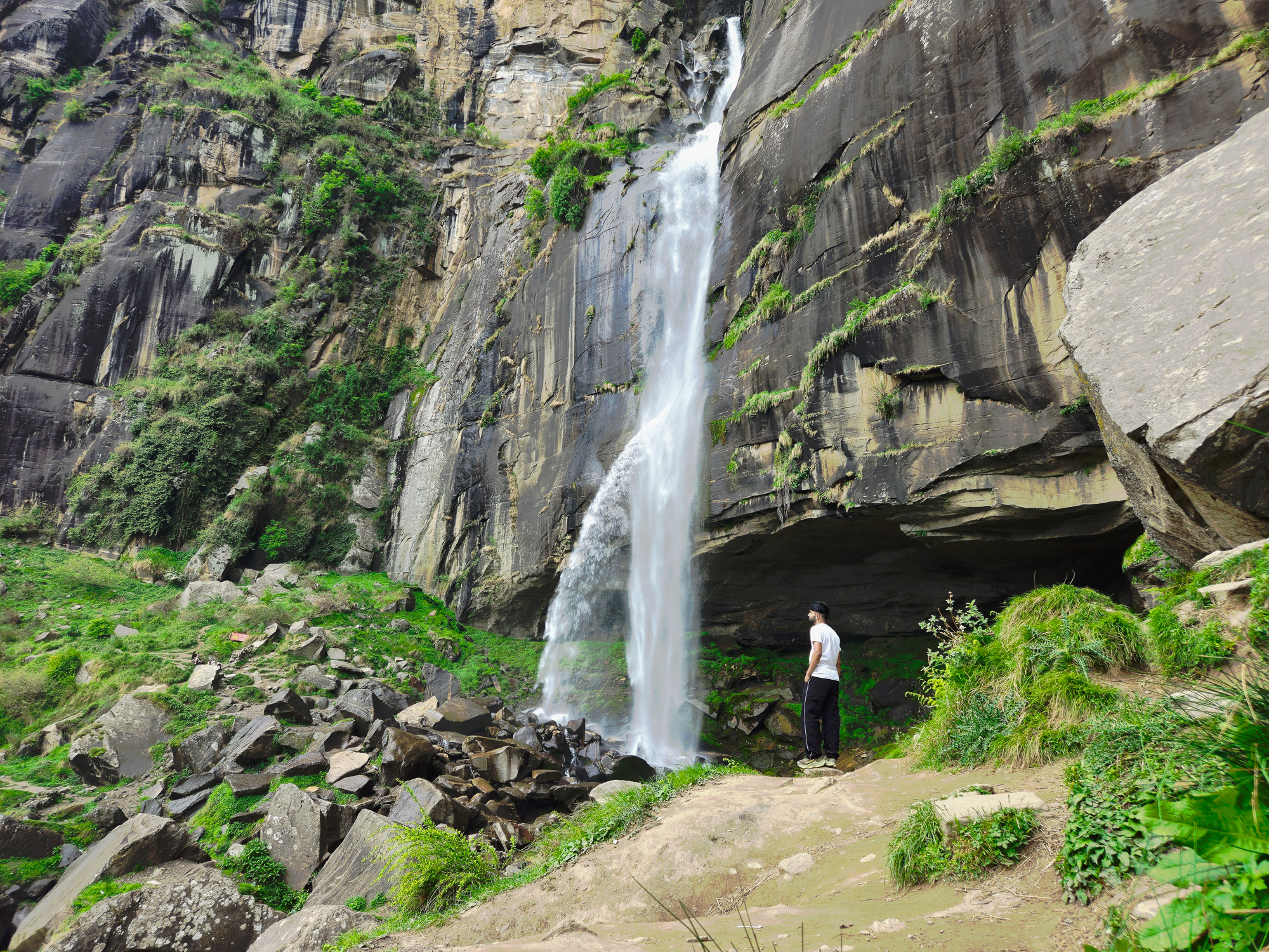
Humbled by Nature's Scale
Standing before the towering cliff face. The immense scale of the rock amphitheater and the crashing water dwarfs everything in comparison.
“A humbling reminder of the sheer verticality of Himachal's topography. You feel tiny standing next to centuries-old granite walls.”
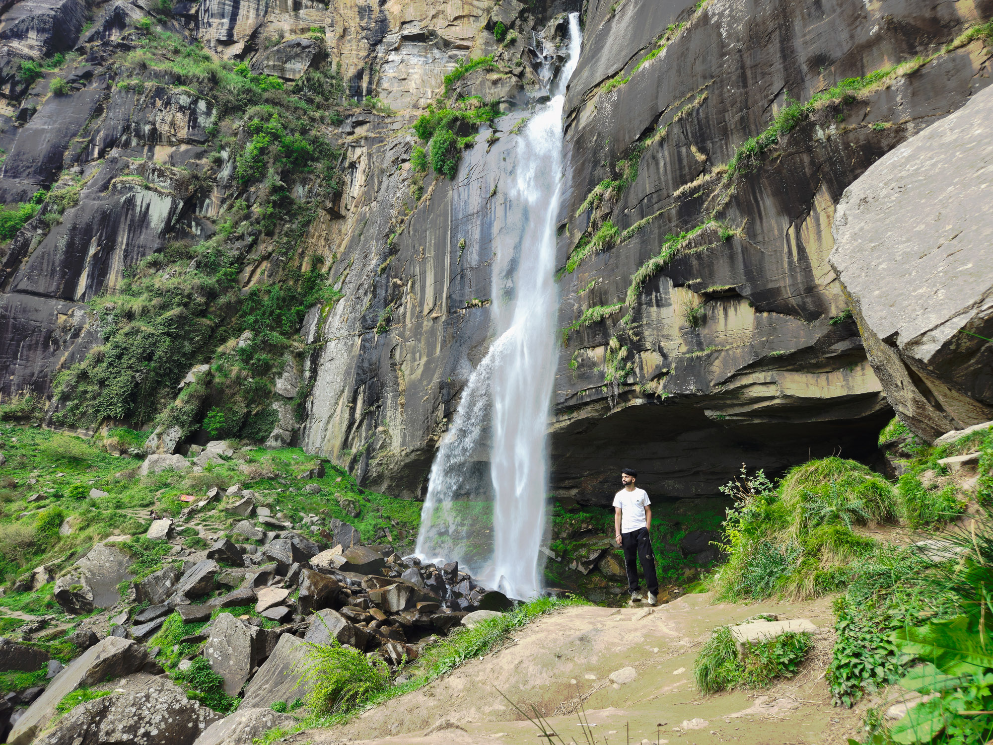
Standing in the Mountain Mist
Facing the roaring cataract head-on as freezing mist drenches clothes and face. An invigorating alpine baptism high above Vashisht.
“Drenched in glacial spray, cold wind whipping around the rocks. The feeling of pure vitality is unmatched.”
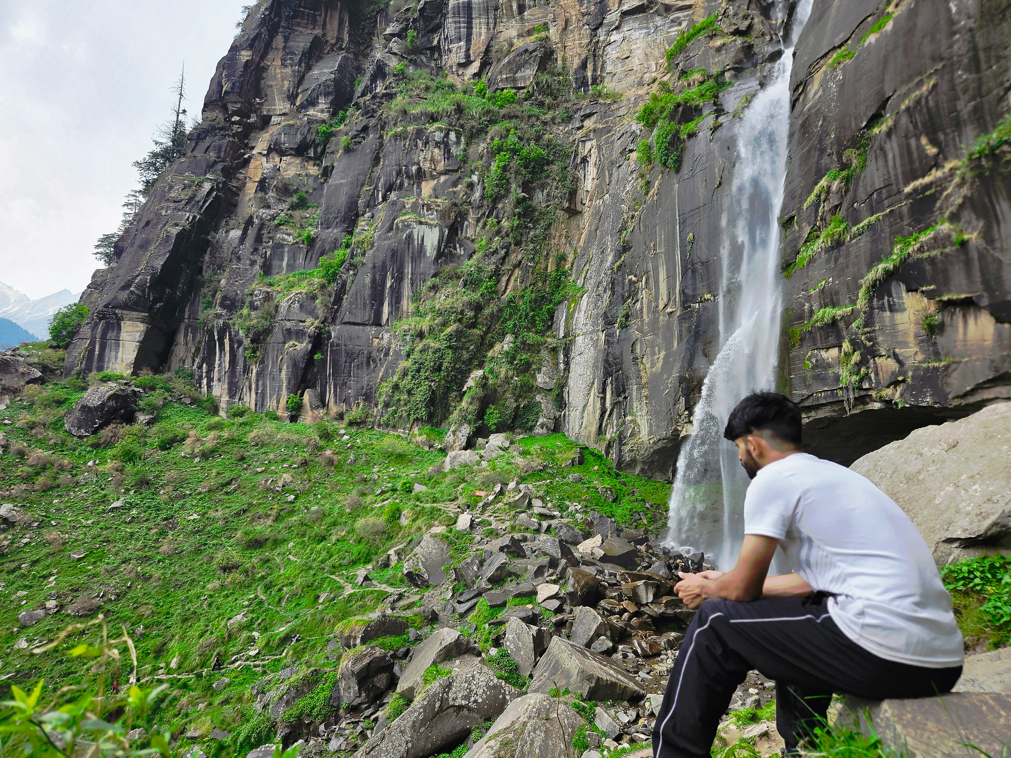
Quiet Reflection Beside Sacred Waters
Resting peacefully on the smooth sun-warmed rocks beside the falls. The roaring water becomes a meditative white noise against the alpine stillness.
“Sitting still by the falls after the steep climb. The local Pahadi belief that these waters are guarded by village Joginis feels palpable here.”
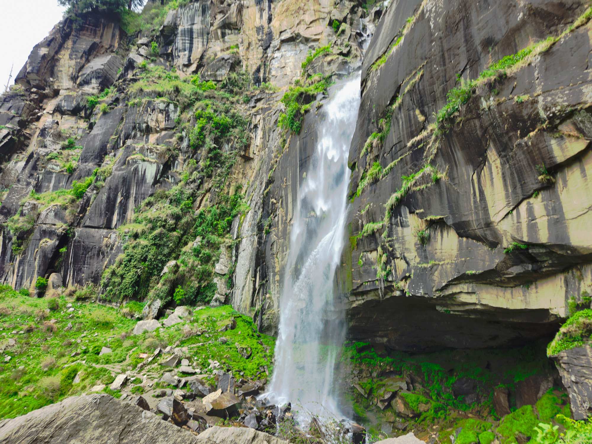
The Sacred Portrait of Jogni
Full vertical portrait of Jogni Falls in pure midday daylight. Pristine snowmelt cascading from the high mountain rim into the deodar gorge.
“A timeless portrait of one of Kullu Valley's most sacred and picturesque natural wonders.”
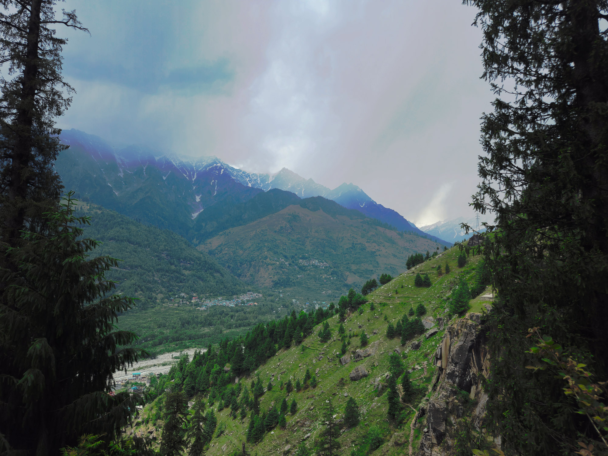
Gazing Across Snow-Capped Pir Panjal Peaks
Looking out from the high waterfall terrace across the canyon to the snow-blanketed ridges and serrated crests of the Pir Panjal range.
“Beyond the waterfall, the horizon opens into endless glaciated peaks. The perfect Himalayan reward for a morning well spent.”
The Route
Trailhead coordinates, navigation milestones, and geospatial profile connecting Vashisht Village (2,050m) to the waterfall amphitheater.
Vashisht Village (2,050m)
Kullu & Manali, Himachal Pradesh • Trailhead Access (3 km from Manali)
Jogni Falls Trek (2,280 m)
150-ft sacred cascading plunge overlooking Beas Valley & Pir Panjal
32.2723° N, 77.1886° E
37 verified trail waypoints
Download GPX for Jogni Falls Trek
Download the verified high-resolution GPS trail trace for Jogni Falls Trek, recorded and validated directly on the mountain trail. Compatible with all handheld GPS units and smartphone navigation apps for offline route-finding.
Verified on 06 October 2026 • Recorded with GPS by Ashish. Authentic forest and waterfall approach trace from Vashisht village. Lightweight offline navigation.
- • Garmin & Suunto: Transfer file directly via Garmin Connect or Suunto App.
- • Gaia GPS & AllTrails: Select “Import GPX” to sync offline topo route.
- • Organic Maps & OsmAnd: Tap file on mobile to open in 100% offline maps.
Elevation Profile
Continuous vertical gradient from Vashisht Village (2,050m) to the 2,280 m summit crest with live slope & oxygen estimates.
Elevation & Slope Profile
Elevation Milestones • 2,280 m Apex
- Base Trailhead
- Vashisht Village (2,050m)
- Mid-Trail Stage
- Mid-Elevation Stage
- Apex Summit Marker
- Jogni Falls Trek • 2,280 m
Itinerary
Recommended day-by-day progression from Solang Village to the high meadows and summit ridge.
Vashisht Village (2,050m) to Upper Jogni Falls (2,280m) & Return
Park scooty or vehicle at Vashisht village. Stroll past the ancient Vashistha temple and ascend the stone alleyways into tranquil pine woods and apple orchards. Pass the rustic local message boards ('Behave like animals, do not litter') and hike alongside clear runoff streams. Arrive at the lower cascade pools (2,180m) to admire the gushing boulder streams. Climb the steeper upper trail to reach the roaring 150-foot Upper Jogni Waterfall amphitheater (2,280m). Soak in the cool glacial mist and panoramic views of the Kullu Valley and snow-clad Pir Panjal peaks before descending back to Vashisht for a relaxing warm sulfur bath.
Information
Everything you need for a safe and prepared journey — real-time weather, seasonal cycles, practical field tips, medical directives, and gear checklist.
Best Time & Live Mountain Weather
Summer & Spring (May – June)
Clear morning skies, blooming alpine meadows across Kullu & Manali, and comfortable daytime trekking conditions with residual high pass snow.
Monsoon (July – August)
Lush green valley trails and vibrant mountain ecology. Afternoon showers require early morning departures and waterproof shells.
Post-Monsoon / Autumn (Sept – Oct)
Unparalleled long-range visibility, stable atmospheric pressure, and crisp dry conditions across the Himalayan summits.
Winter & Early Spring (Nov – April)
High elevation terrain covered in heavy seasonal snow. Lower valley trails accessible; high cols demand specialized cold-weather preparation.
Trail Tips & Practical Advice
Park your scooty at Vashisht near the temple square and start early to catch soft morning light.
Take a moment to read the rustic local signboards along the pine paths—and pack all your trash out.
Don't rush past the lower cascade pools; they offer wonderful quiet viewpoints and cold glacial water.
The trail past the lower falls climbs steeply over tree roots and rocks to the upper amphitheater—it is well worth the sweat.
Carry a light windbreaker or rain shell; the spray mist near the base of the upper waterfall is intense.
No permits or forest fees required for the Jogni Falls hike.
Altitude Safety & Emergency Protocols
The Three Golden Rules of Altitude Safety
- 1Rule 1: Any headache or illness above 2,500m is Acute Mountain Sickness (AMS) until proven otherwise.
- 2Rule 2: Never ascend to sleep at a higher campsite with symptoms of altitude sickness.
- 3Rule 3: If symptoms worsen, or if ataxia (loss of balance) or breathlessness at rest appears, descend immediately.
What to Pack
Recommended alpine gear and equipment essentials required for the Jogni Falls Trek route.
Frequently Asked Questions
Clear answers regarding distance, altitude, how to reach, opening hours, winter conditions, and permits for Jogni Falls Trek.
More Trails in Kullu & Manali
Continue your journey through neighboring valleys, glacier basins, and trails across Kullu & Manali.
Beas Kund Trek
Beas Kund (also revered as Vyas Kund) is the sacred high-altitude glacial tarn (3,700m / 12,139 ft) from which the River Beas (ancient Vipasha) originates. Nestled directly beneath the colossal amphitheater of Friendship Peak (5,289m), Shitidhar (5,290m), Ladakhi Peak (5,345m), and the jagged pyramid of Hanuman Tibba (5,982m), it represents one of the most scenic and rewarding alpine treks in the Upper Solang Valley of Manali. The 15.5 km round-trip trail begins at the Dhundi Bridge checkpoint (2,840m) on the roaring headwaters of the Beas, climbing through ancient silver birch (Bhojpatra) and deodar woodlands to the broad glacial floodplain of Bakarthach (3,300m). Beyond the shepherd meadows, the trail ascends steeply over rugged terminal moraines, granite boulder fields, and hanging glacier ridges to reveal the serene, turquoise tarn cradled at 3,700 meters.
Lamadugh Meadow
Lamadugh is a serene meadow nestled in the dense deodar and oak forests above Manali. The trail offers a gentle ascent through shaded woodland paths, opening up to a vast alpine clearing at around 3,300 meters.
Patalsu Peak Trek
Patalsu Peak stands at 4,261 meters (13,980 ft) above Solang Valley, widely recognized as the premier beginner-friendly 4,000m trekking peak in Manali and one of the finest non-technical summits in Himachal Pradesh. The route covers 16 km round-trip from Solang Village (8 km each way) with an intense vertical gain of +1,781 meters. Celebrated as one of the best snow Manali treks during spring (May to June) when the upper ridgelines retain snowfields, and an iconic high-altitude speed hike trek in autumn for endurance athletes conquering the summit in a grueling 12–13 hour single-day push. From the summit crest, trekkers enjoy an unrestricted 360-degree panorama of Hanuman Tibba (5,982m), Friendship Peak (5,289m), Shitidhar, Ladakhi Peak, Rohtang Pass, and the boundless Dhauladhar and Pir Panjal ranges.