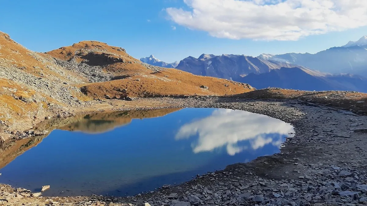
Bhrigu Lake
Moderate Alpine Trail in Kullu & Manali • Summit 4,300 m • 3 Days
Alpine Field Dossier • Route Metrics
About Bhrigu Lake Trek
Bhrigu Lake is a stunning high-altitude lake at 4,300 meters on the edge of the Rohtang plateau. Named after the sage Bhrigu, the lake remains frozen for much of the year and is surrounded by vast rolling meadows that explode with wildflowers in early summer. It is considered one of the most accessible high-altitude alpine lakes near Manali.
Trailhead Approach
Commences from Gulaba, Rohtang Road, following established mountain corridors through valley topography.
Alpine Progression
Rises steadily into open mountain zones with panoramic vantages across Kullu & Manali.
High Vantage & Crest
Reaches high elevation vantage points where disciplined alpine pacing and weather awareness ensure a safe journey.
The Trail
Photographic plates and visual observations along the Bhrigu Lake Trek route in Kullu & Manali.

Plate 01 • Trail Observation
Field observation on the Bhrigu Lake Trek route through Kullu & Manali.
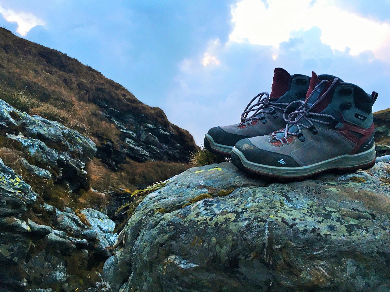
Plate 02 • Trail Observation
Field observation on the Bhrigu Lake Trek route through Kullu & Manali.
The Route
Trailhead coordinates, navigation milestones, and geospatial profile connecting Gulaba, Rohtang Road to the summit crest.
Gulaba, Rohtang Road
Kullu & Manali, Himachal Pradesh • Trailhead Access
Bhrigu Lake Trek (4,300 m)
Panoramic vistas from Bhrigu Lake Trek across Kullu & Manali
32.2933° N, 77.2425° E
Mapped trail route
Download GPX for Bhrigu Lake Trek
Download the verified high-resolution GPS trail trace for Bhrigu Lake Trek, recorded and validated directly on the mountain trail. Compatible with all handheld GPS units and smartphone navigation apps for offline route-finding.
Verified on 16 July 2020 • Recorded with Strava GPS / Phone by Ashish. All personal biometric timestamps and heart-rate telemetry have been completely stripped for clean, lightweight offline navigation.
- • Garmin & Suunto: Transfer file directly via Garmin Connect or Suunto App.
- • Gaia GPS & AllTrails: Select “Import GPX” to sync offline topo route.
- • Organic Maps & OsmAnd: Tap file on mobile to open in 100% offline maps.
Elevation Profile
Continuous vertical gradient from Gulaba, Rohtang Road to the 4,300 m summit crest with live slope & oxygen estimates.
Elevation & Slope Profile
Elevation Milestones • 4,300 m Apex
- Base Trailhead
- Gulaba, Rohtang Road
- Mid-Trail Stage
- 4300 m • Rola Khuli to Bhrigu Lake and back to Rola Khuli
- Apex Summit Marker
- Bhrigu Lake Trek • 4,300 m
Itinerary
Recommended day-by-day progression from Solang Village to the high meadows and summit ridge.
Gulaba to Rola Khuli Camp
Drive from Manali to Gulaba (3,100m). Trek through open meadows with views of Kullu Valley. Camp at Rola Khuli (3,500m), a flat clearing below the treeline.
Rola Khuli to Bhrigu Lake and back to Rola Khuli
Early start for the summit day. Climb steeply across the plateau to reach Bhrigu Lake (4,300m). The lake is often partially frozen even in July. Return to camp.
Rola Khuli to Gulaba, drive to Manali
Descend back to Gulaba trailhead. Drive back to Manali.
Information
Everything you need for a safe and prepared journey — real-time weather, seasonal cycles, practical field tips, medical directives, and gear checklist.
Best Time & Live Mountain Weather
Summer & Spring (May – June)
Clear morning skies, blooming alpine meadows across Kullu & Manali, and comfortable daytime trekking conditions with residual high pass snow.
Monsoon (July – August)
Lush green valley trails and vibrant mountain ecology. Afternoon showers require early morning departures and waterproof shells.
Post-Monsoon / Autumn (Sept – Oct)
Unparalleled long-range visibility, stable atmospheric pressure, and crisp dry conditions across the Himalayan summits.
Winter & Early Spring (Nov – April)
High elevation terrain covered in heavy seasonal snow. Lower valley trails accessible; high cols demand specialized cold-weather preparation.
Trail Tips & Practical Advice
Standard alpine precautions apply. Maintain early morning departures (before 6:00 AM) to clear high passes and summit ridges ahead of afternoon convective cloud cover and wind shifts.
No specific trekking permits required. A Rohtang Pass vehicle permit is needed to drive to Gulaba — book at least 1 day in advance from the HRTC office in Manali.
Altitude Safety & Emergency Protocols
The Three Golden Rules of Altitude Safety
- 1Rule 1: Any headache or illness above 2,500m is Acute Mountain Sickness (AMS) until proven otherwise.
- 2Rule 2: Never ascend to sleep at a higher campsite with symptoms of altitude sickness.
- 3Rule 3: If symptoms worsen, or if ataxia (loss of balance) or breathlessness at rest appears, descend immediately.
What to Pack
Recommended alpine gear and equipment essentials required for the Bhrigu Lake Trek route.
Frequently Asked Questions
Clear answers regarding distance, altitude, how to reach, opening hours, winter conditions, and permits for Bhrigu Lake Trek.
More Trails in Kullu & Manali
Continue your journey through neighboring valleys, glacier basins, and trails across Kullu & Manali.
Beas Kund Trek
Beas Kund (also revered as Vyas Kund) is the sacred high-altitude glacial tarn (3,700m / 12,139 ft) from which the River Beas (ancient Vipasha) originates. Nestled directly beneath the colossal amphitheater of Friendship Peak (5,289m), Shitidhar (5,290m), Ladakhi Peak (5,345m), and the jagged pyramid of Hanuman Tibba (5,982m), it represents one of the most scenic and rewarding alpine treks in the Upper Solang Valley of Manali. The 15.5 km round-trip trail begins at the Dhundi Bridge checkpoint (2,840m) on the roaring headwaters of the Beas, climbing through ancient silver birch (Bhojpatra) and deodar woodlands to the broad glacial floodplain of Bakarthach (3,300m). Beyond the shepherd meadows, the trail ascends steeply over rugged terminal moraines, granite boulder fields, and hanging glacier ridges to reveal the serene, turquoise tarn cradled at 3,700 meters.
Lamadugh Meadow
Lamadugh is a serene meadow nestled in the dense deodar and oak forests above Manali. The trail offers a gentle ascent through shaded woodland paths, opening up to a vast alpine clearing at around 3,300 meters.
Jogni Falls Trek
Jogni Falls (Jogini Waterfall) is a sacred 150-foot cascading cataract plunging down sheer granite cliffs in the Kullu Valley above Vashisht village, approximately 4 km from Manali. Revered by local villagers as the sacred dwelling of the village Joginis (protective female deities), the trail departs from Vashisht temple square and ascends gently through fragrant deodar woods, ancient pine forests, and terraced apple orchards. The trail features two distinct stages: the lower tiered cascades and boulder streams where glacial waters rush violently over smooth rocks, followed by a steeper dirt trail winding through tree roots and crags up to the grand upper amphitheater. Here, the full vertical plunge crashes into a crystalline plunge pool, drenching hikers in invigorating glacial spray while framing sweeping vistas of the Beas Valley and snow-draped Pir Panjal crests.